|
|
Located at the Northsea coast I used 300m beverages pointing about 320° and 280° See details in Google-Map 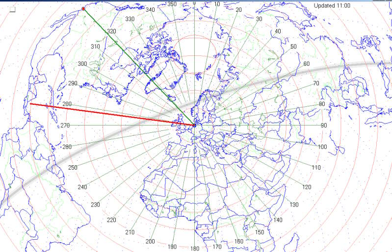
Note the location of the greyline on Jan 1st at 11:00 local when typically TA signals fade away. However in Jan 2006 US & CAN stations often stayed an hour longer. Note the shorter daylight path to Vancouver compared to New York. Created with Pizza the free great-circle mapping program |
|
|
Looking towards the far end of the 320° BOG, the storm is pushing the wire to the right 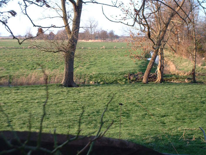
Sideview on the 320° BOG and the 320° EWE (a bit higher), the thin wires are barely visible 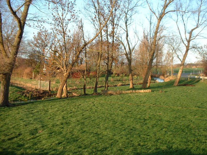
Looking towards the far end of the 280° BOG placed on 1m fence poles 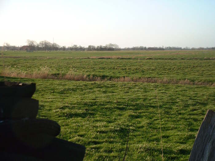
View from the 280° BOG far end back home 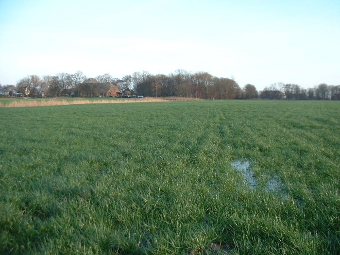
|